

Overview
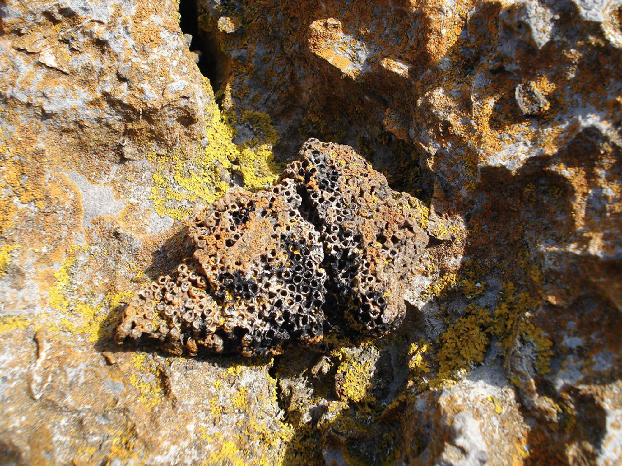
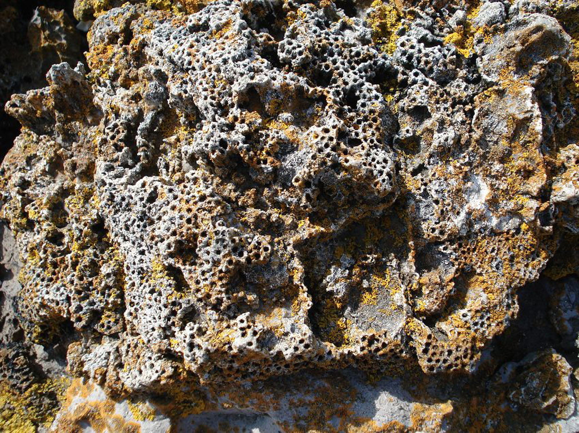
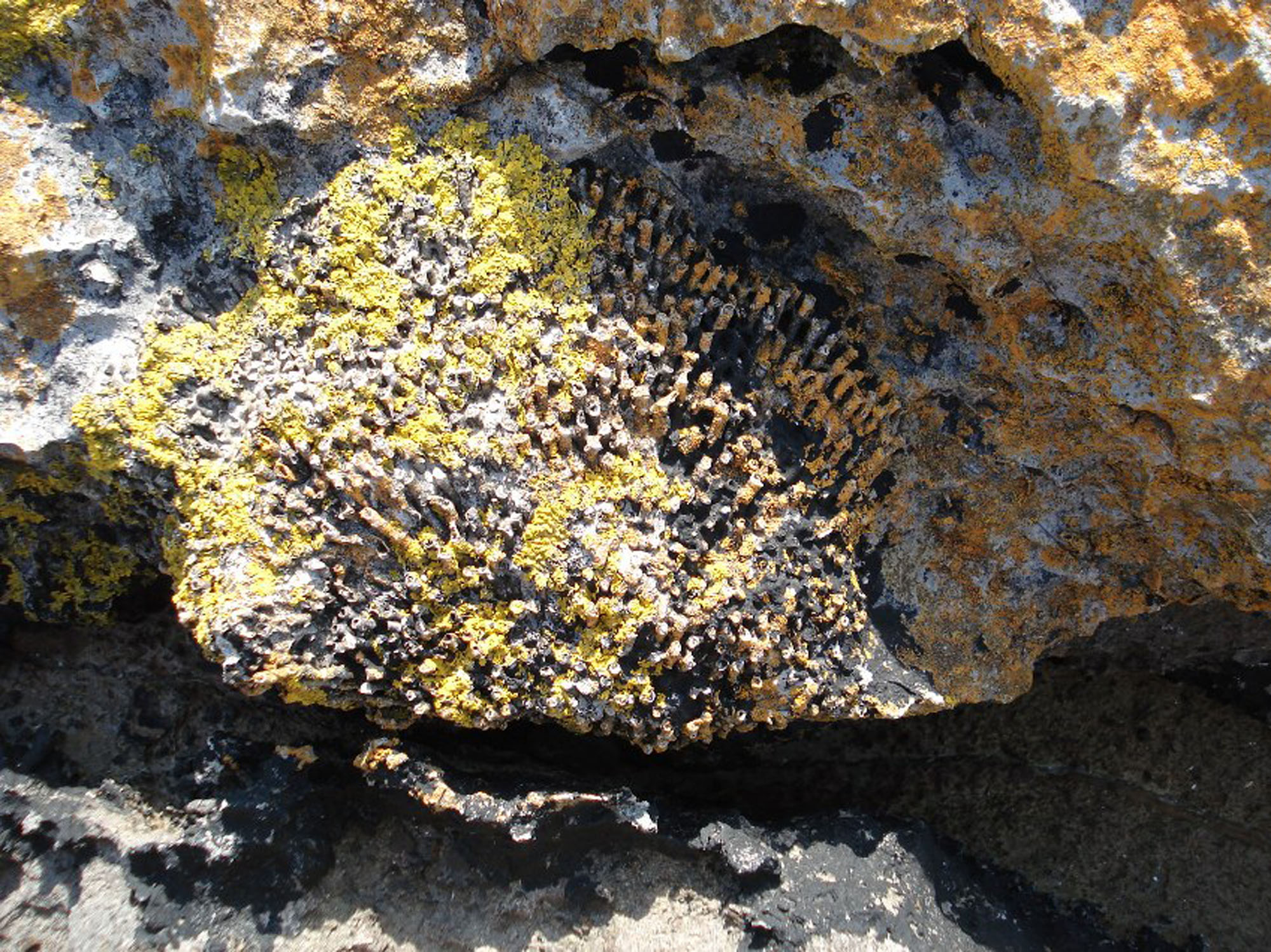
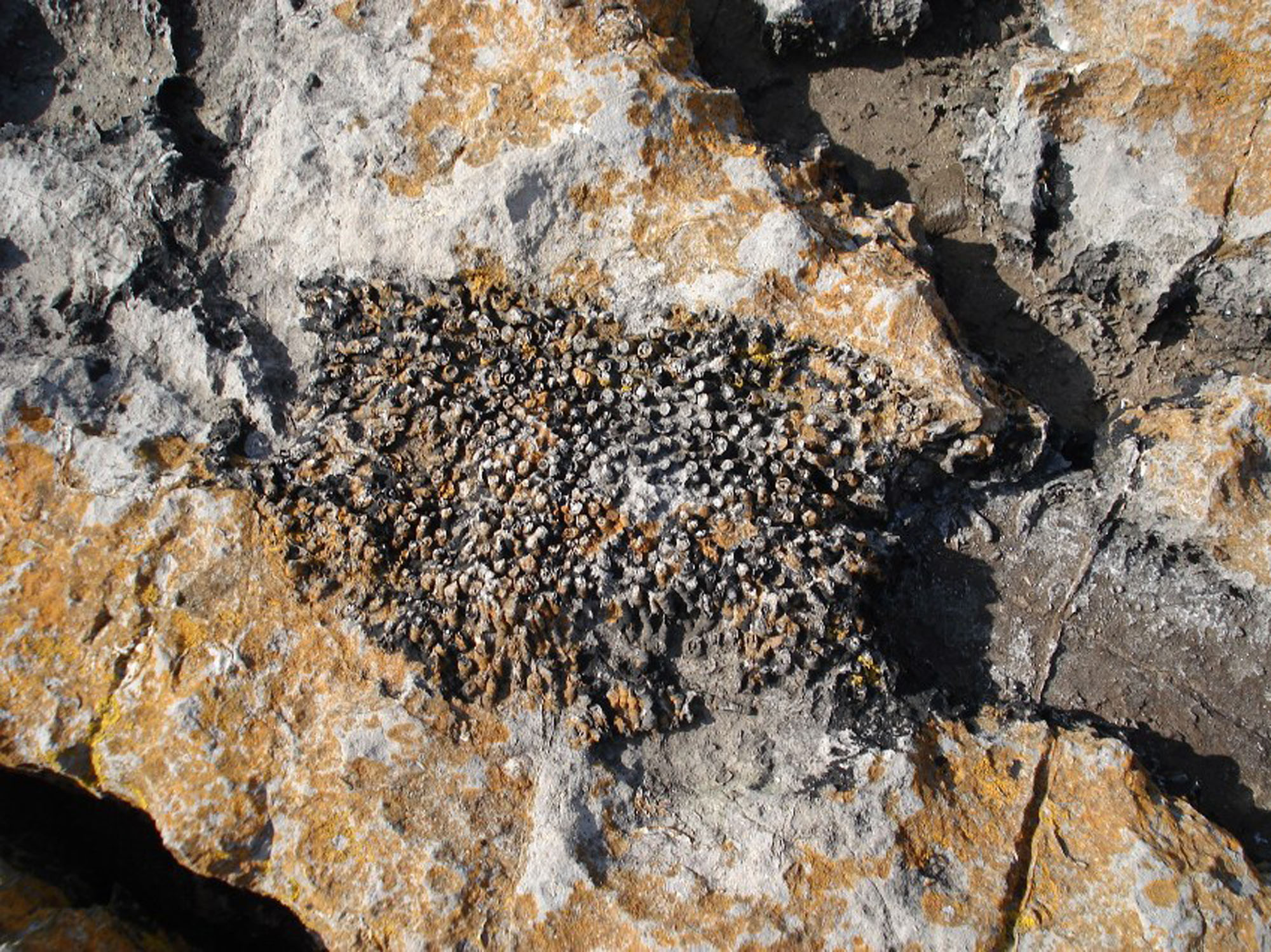
FIND FREQUENCY – Corals and brachiopods are documented in the limestone, including conspicuous weathered examples; their visibility varies with exposure.
CHILDREN – The steep coast, difficult descent and tidal headlands are unsuitable for young children.
ACCESS – The historical approach past Pentir Cottage and across the field needs confirmation with the landowner before use.
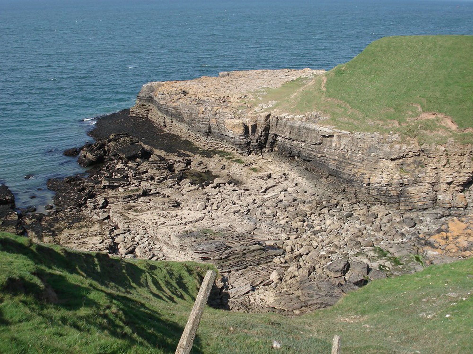
TYPE – Late Viséan coastal limestone ledges and headlands below Caim, on the north Penmon coast.
Directions
- The original guide concerns the coast below Caim and Pentir Cottage, around SH6225281520. Confirm a lawful approach and stopping place before setting out; the name Caim does not identify a designated car park.
- The old guide describes a diagonal field crossing and a descent to the shore. Do not assume these are public rights of way: obtain the landowner’s directions or use an independently confirmed public route. Keep cottage drives, field gates, the substation and narrow lanes unobstructed.
- The two headlands and short westward shore extension are tidal and require a safe return route. The signed coastal path farther inland does not by itself establish a public descent here or an unrestricted route around the foreshore.
Location photographs
Swipe to browse · Select a photograph to enlarge
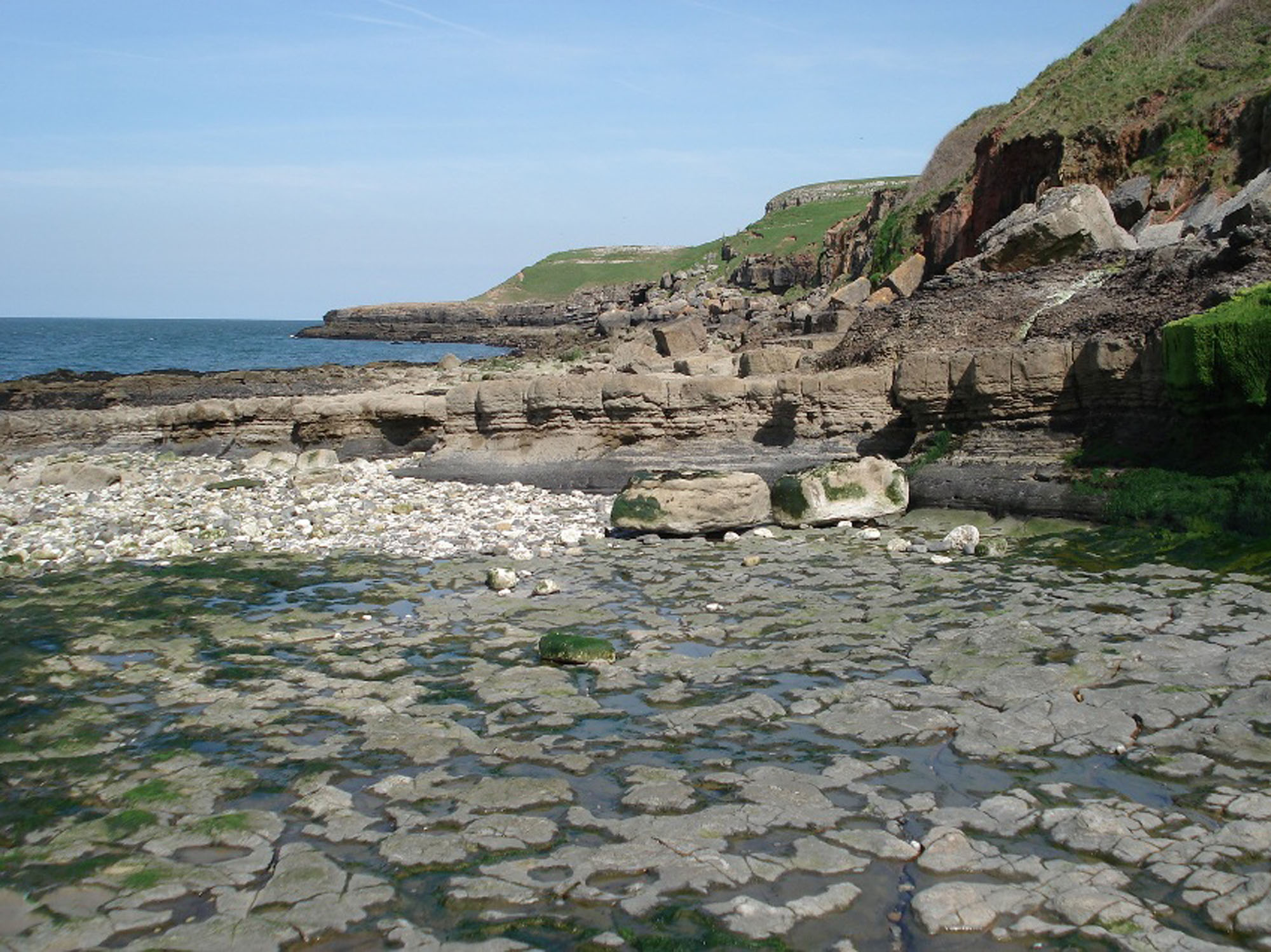


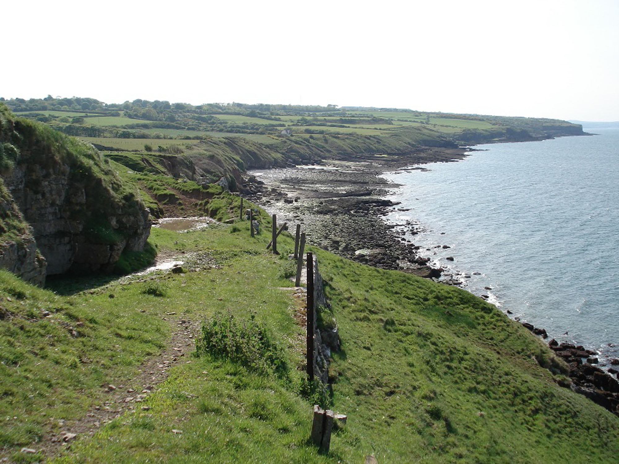
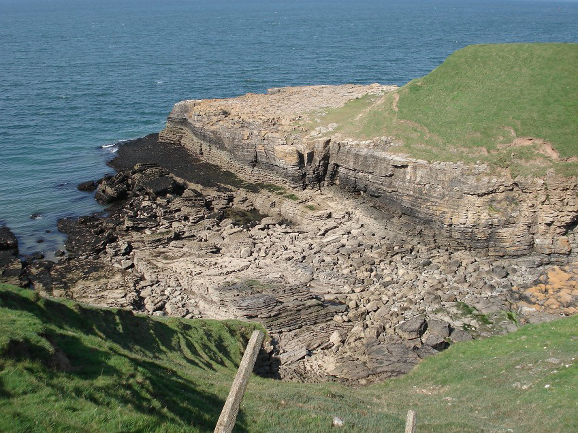
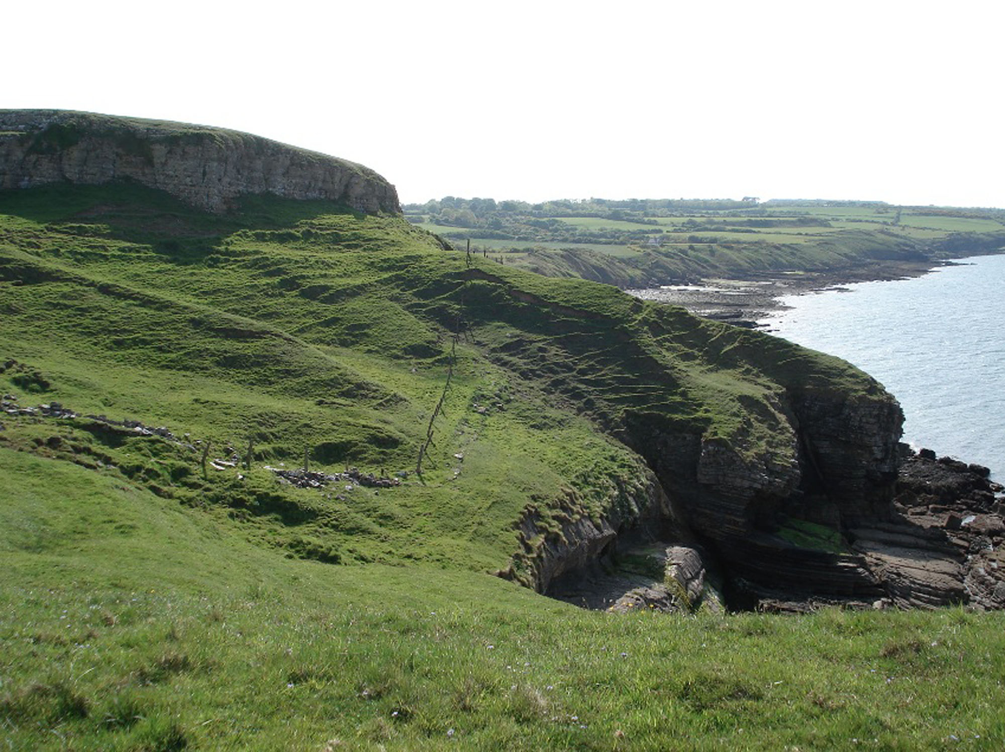

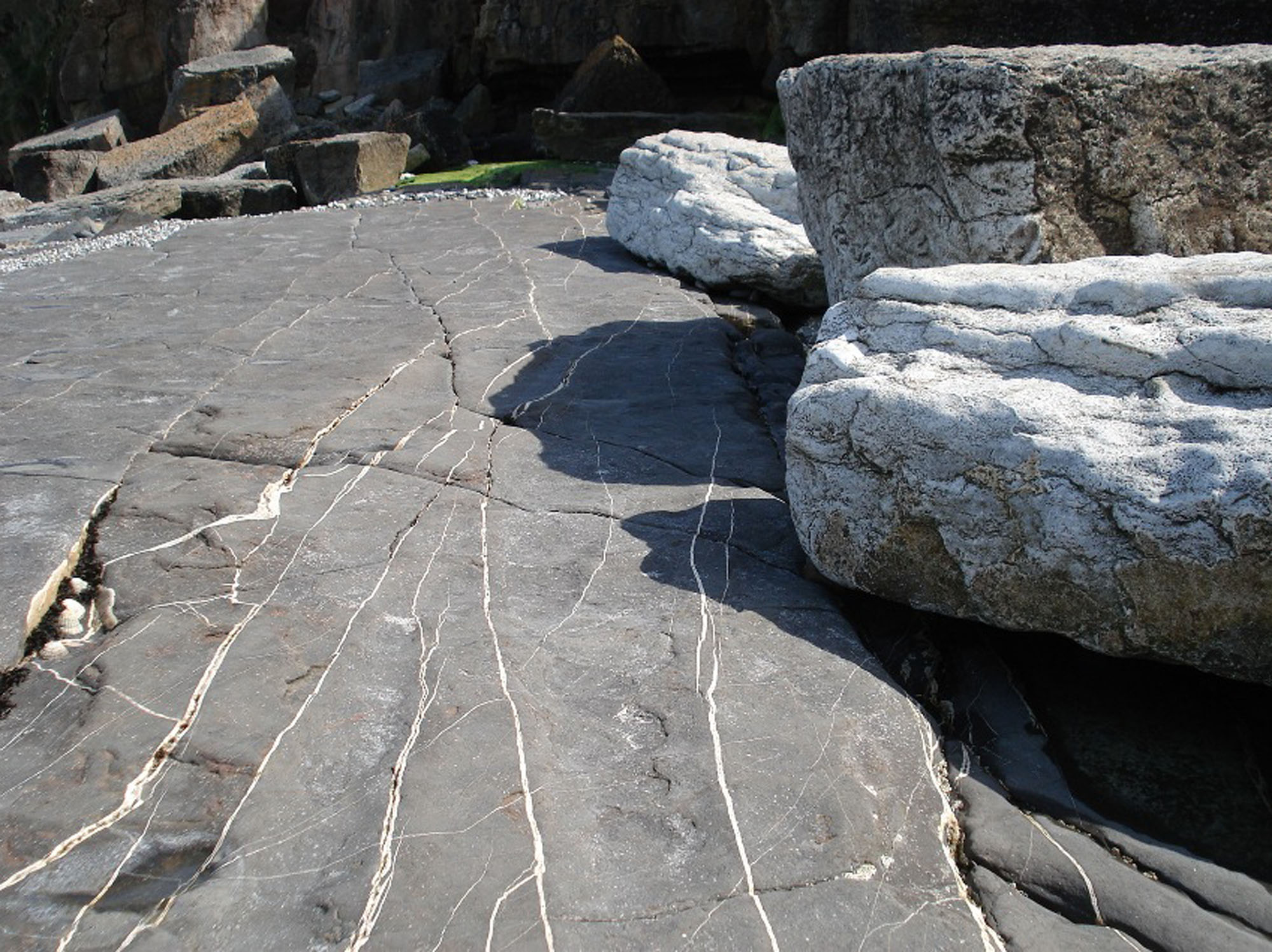

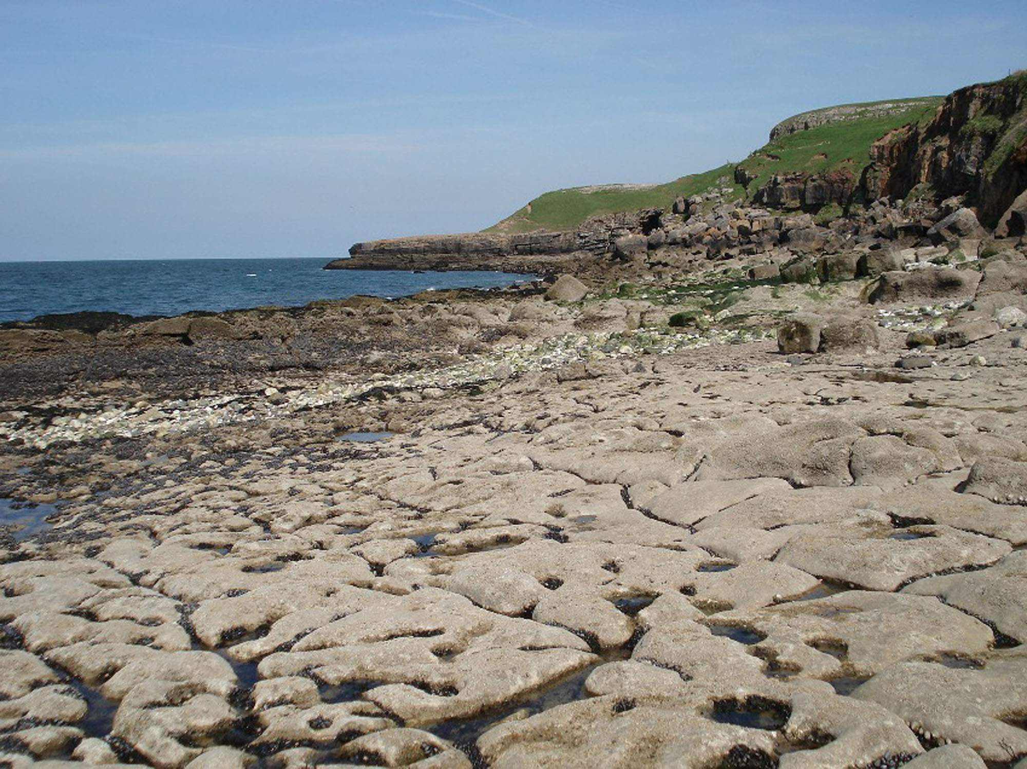


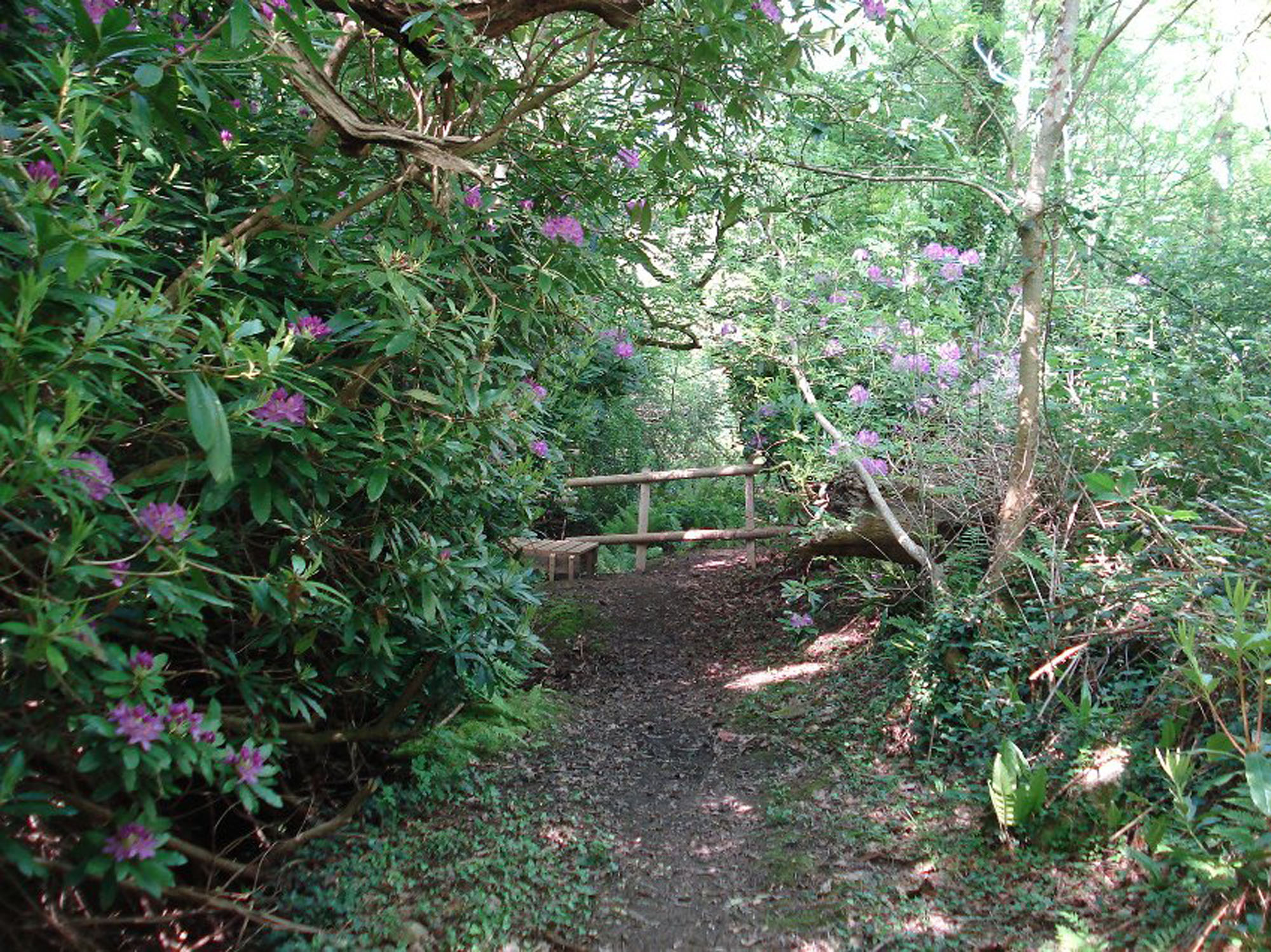
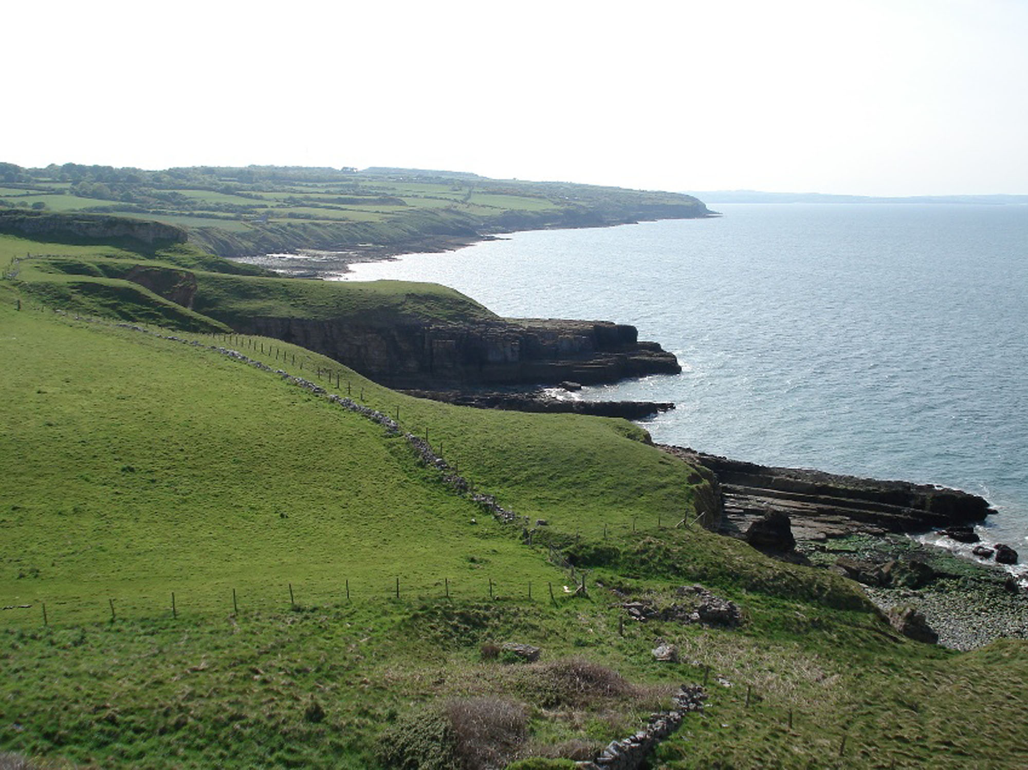
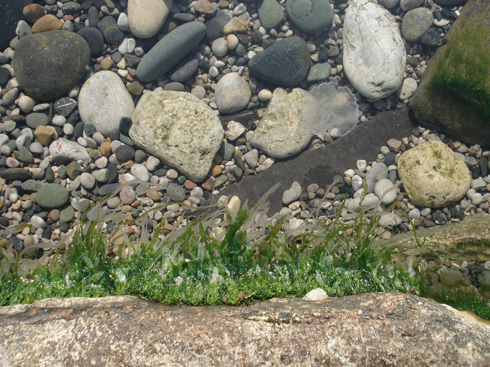
Fossil Hunting
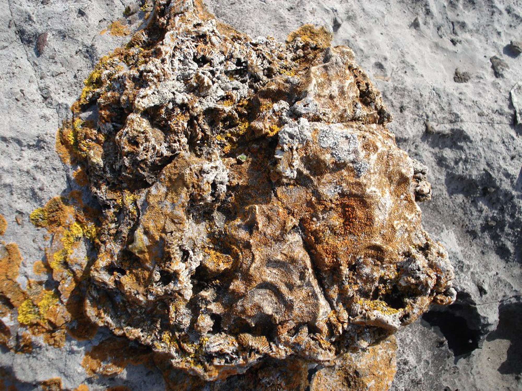
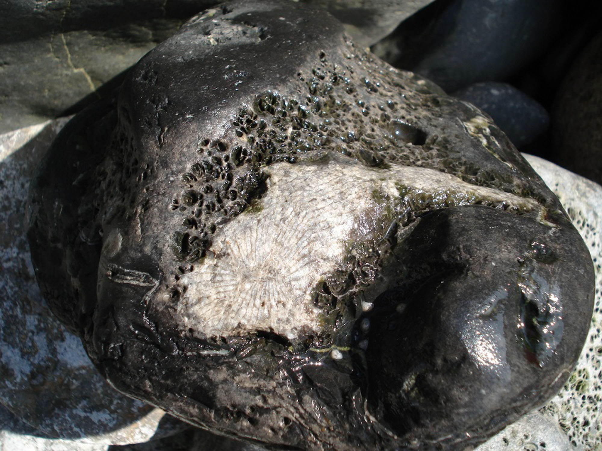
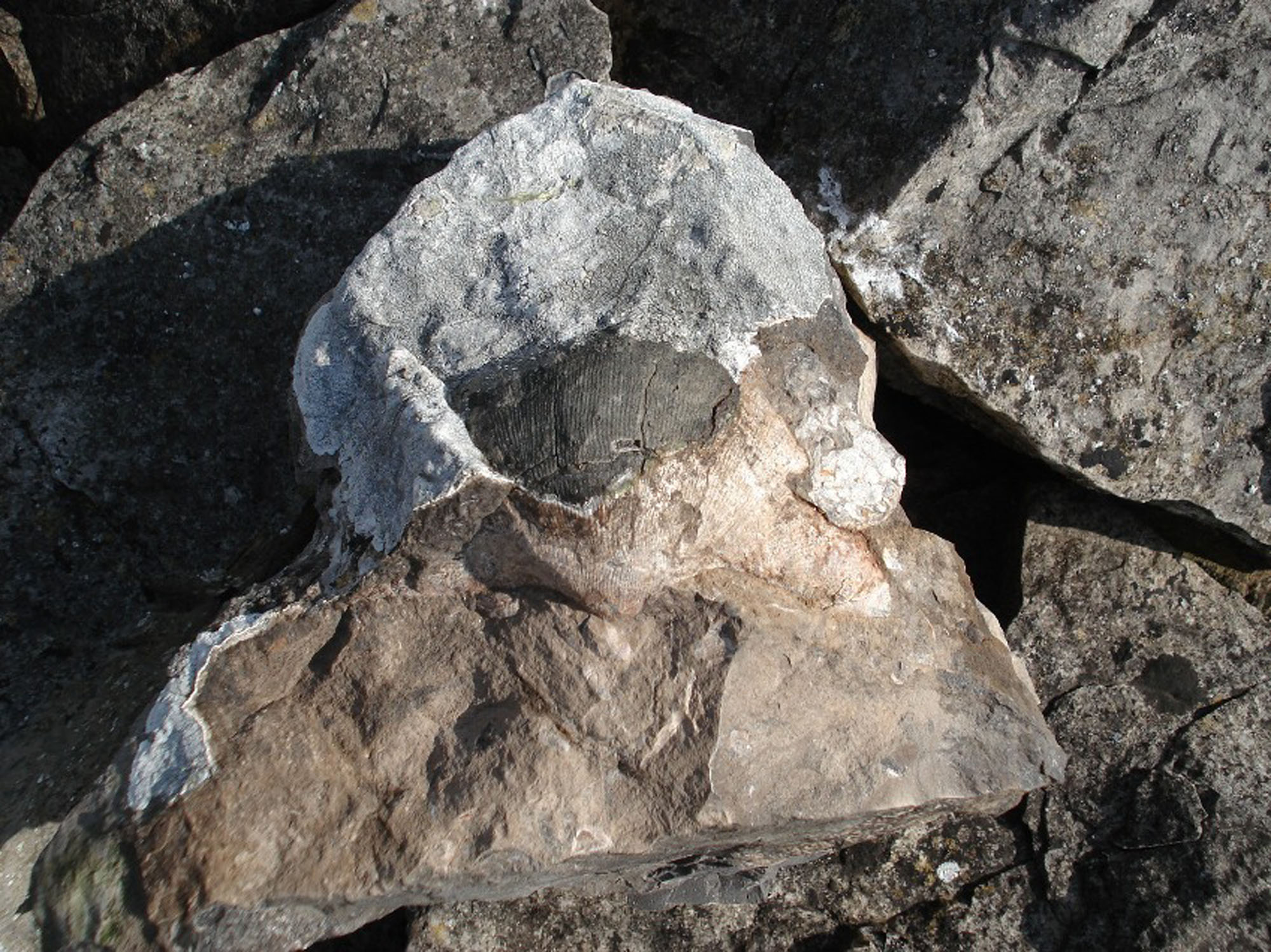
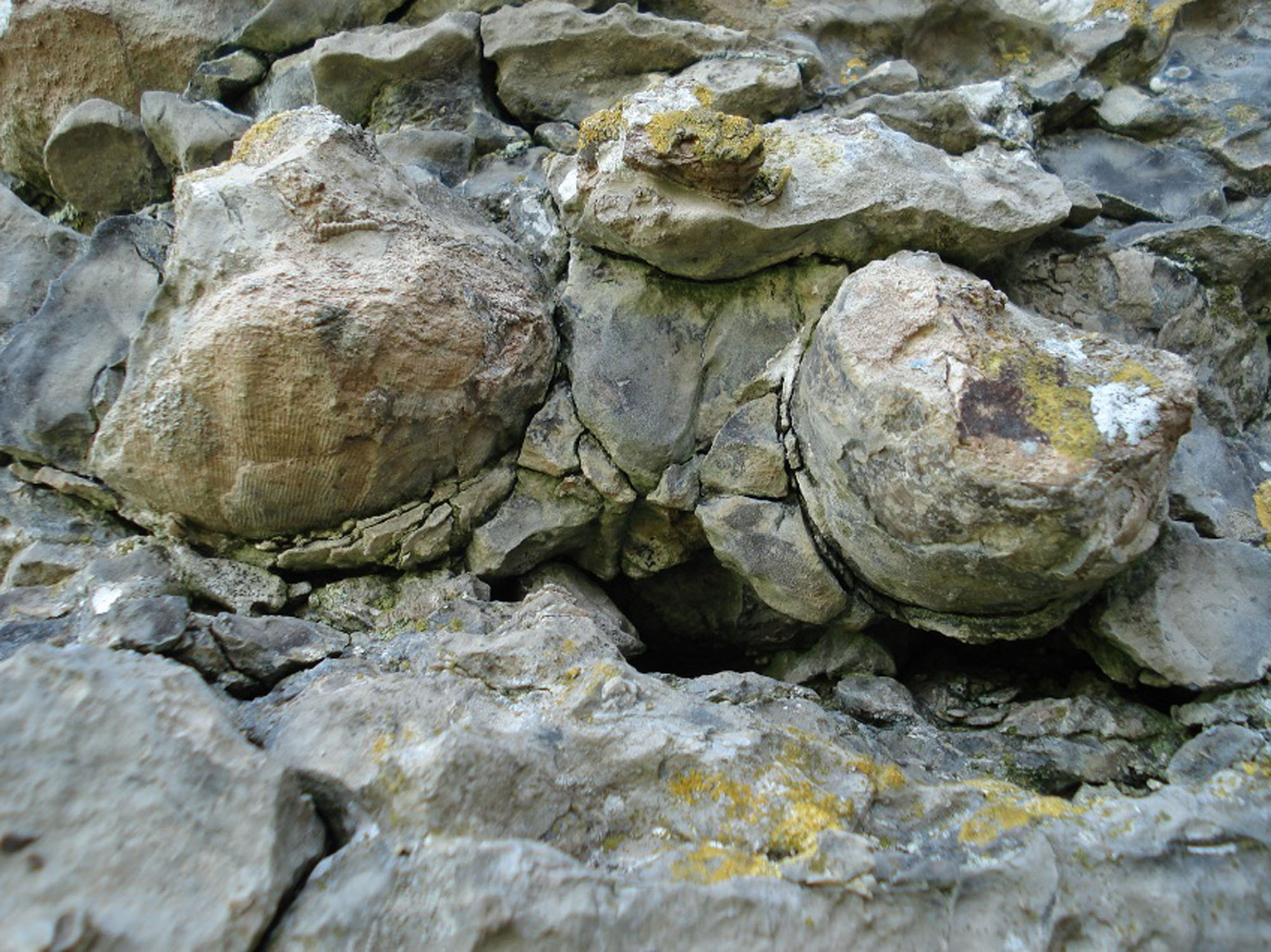
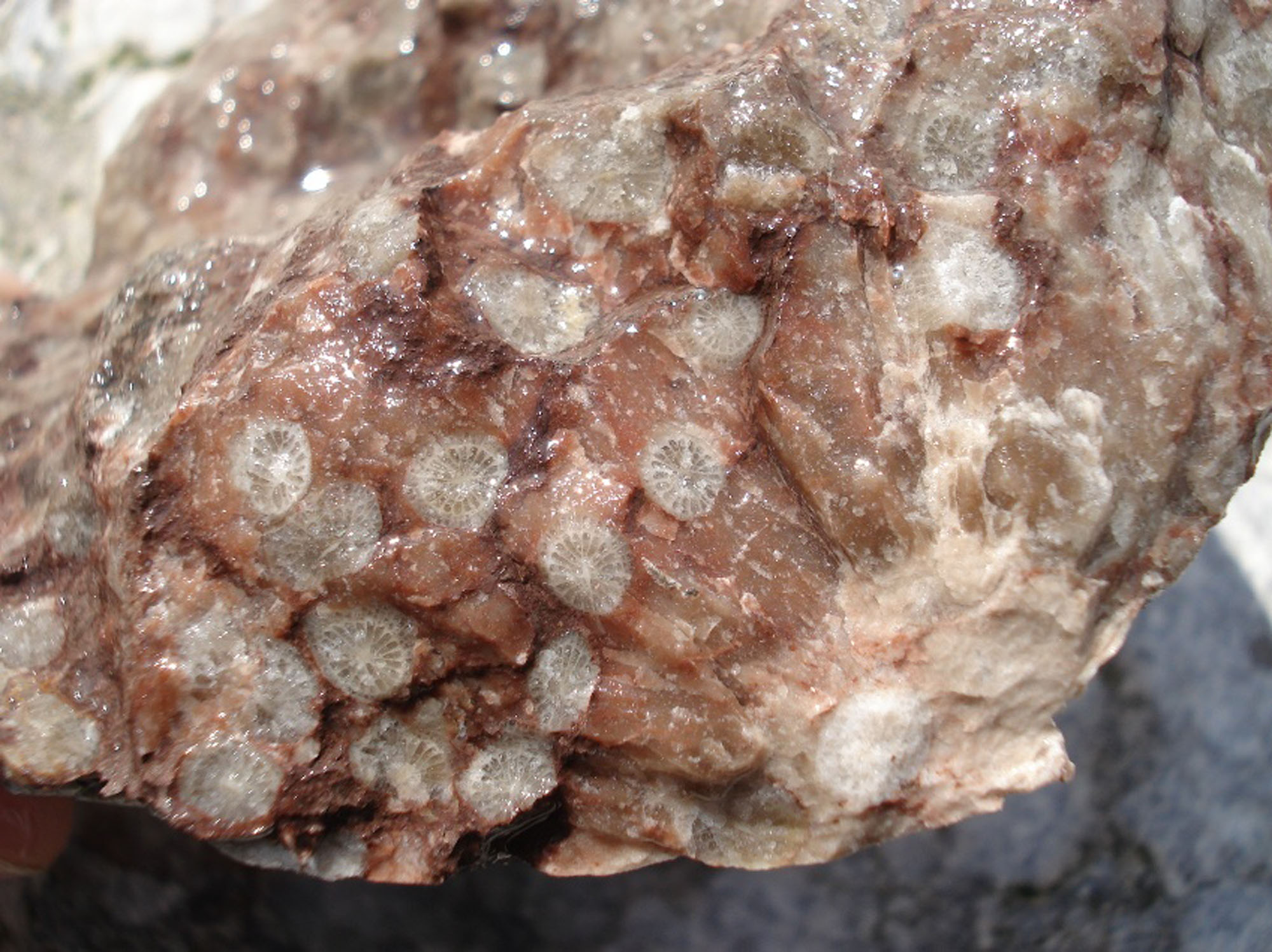
Weathering can leave coral structures standing proud of the limestone. Colonial corals show repeated neighbouring corallites, whereas a solitary horn coral may appear as a tapering cone or a rounded section with internal radial divisions. Inspect these surfaces without scraping or trying to lever specimens from the ledge.
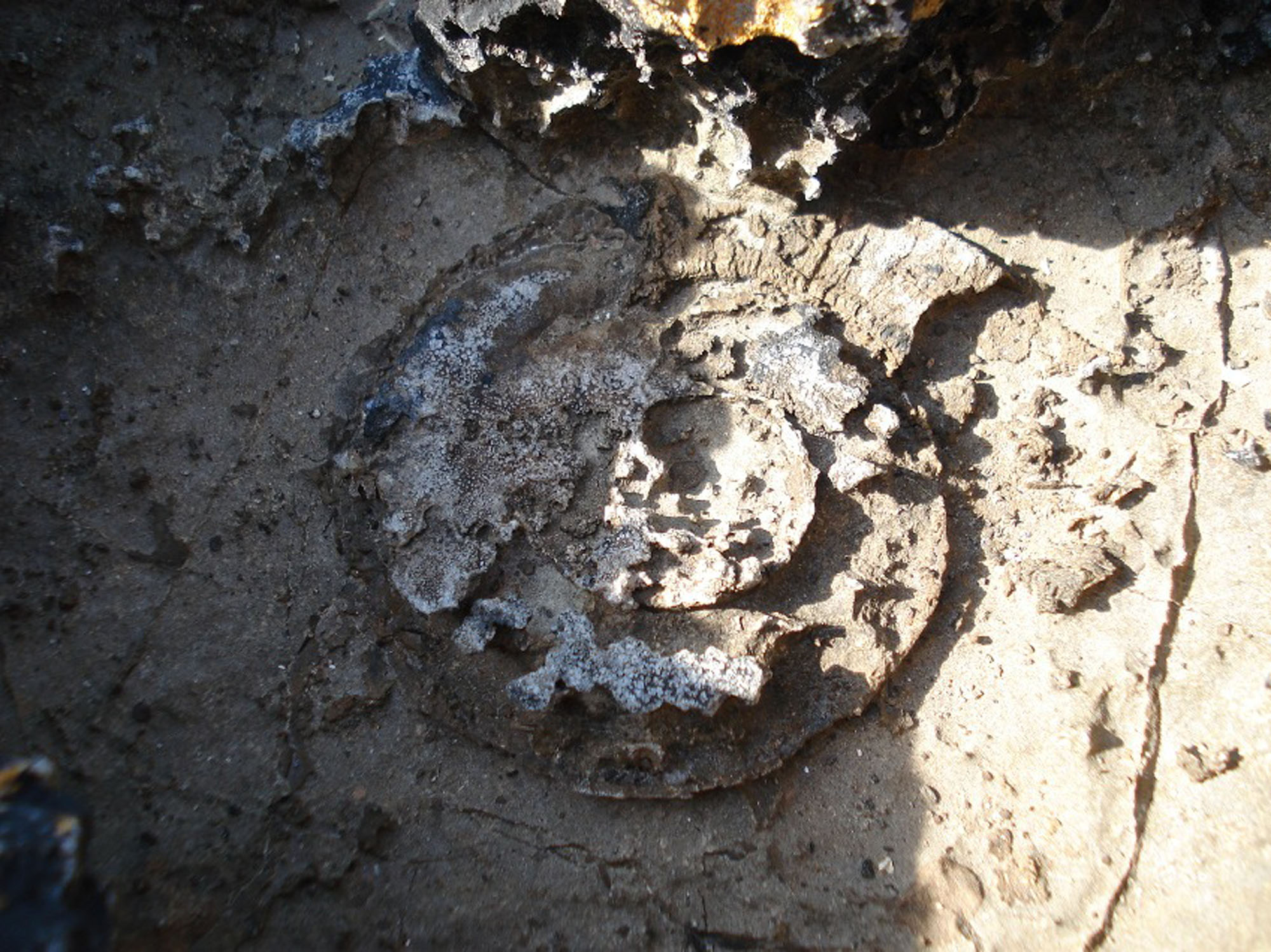
The original field account describes large brachiopods and some silicified brachiopod and bivalve material. Large curved shells may be conspicuous, but a fragment or worn section does not necessarily preserve the hinge, ornament and other features required for a species identification. The matrix and way the shell is exposed are useful parts of the observation.
A published first-hand account reports Gigantoproductus from cliffs near Caim. This supports the presence of large productid brachiopods, without identifying every shell as G. giganteus or establishing a measured maximum size for a catalogued Caim specimen. General descriptions of very large members of the genus should not become measurements of this locality’s finds.
A coral-rich bed was noted at the base of the next headland west in the original guide. It remains an informal field observation, without a verified formal bed name or measured thickness. Do not use it as an instruction to cross an unsafe tidal point or to extract in-situ colonies. Photographs with a scale preserve both the fossils and their relationship to the limestone.
Keep the Caim headlands separate from Tandinas Quarry, Flagstaff Quarry and White Beach. Their published faunas and measured sections do not identify a loose Caim specimen. If removal of loose material has been expressly permitted, record its precise find position and avoid assigning a transported piece to an unobserved bed.
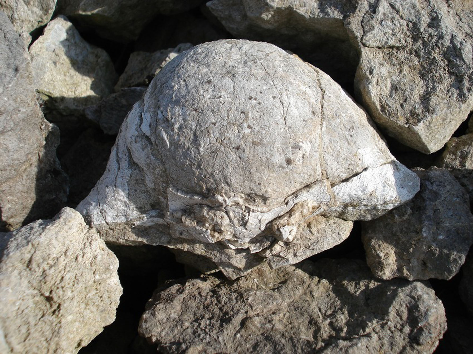
Fossil photographs
Swipe to browse · Select a photograph to enlarge

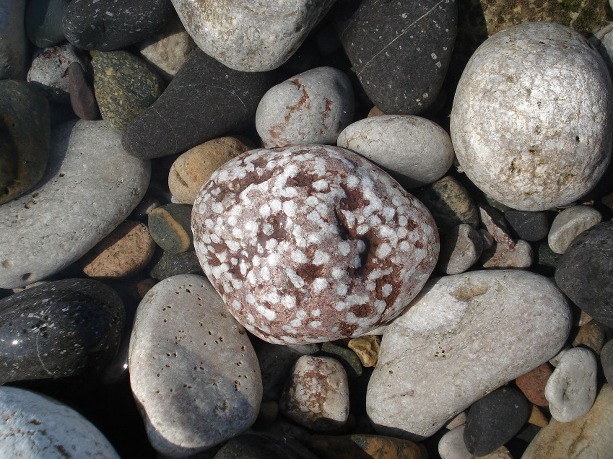
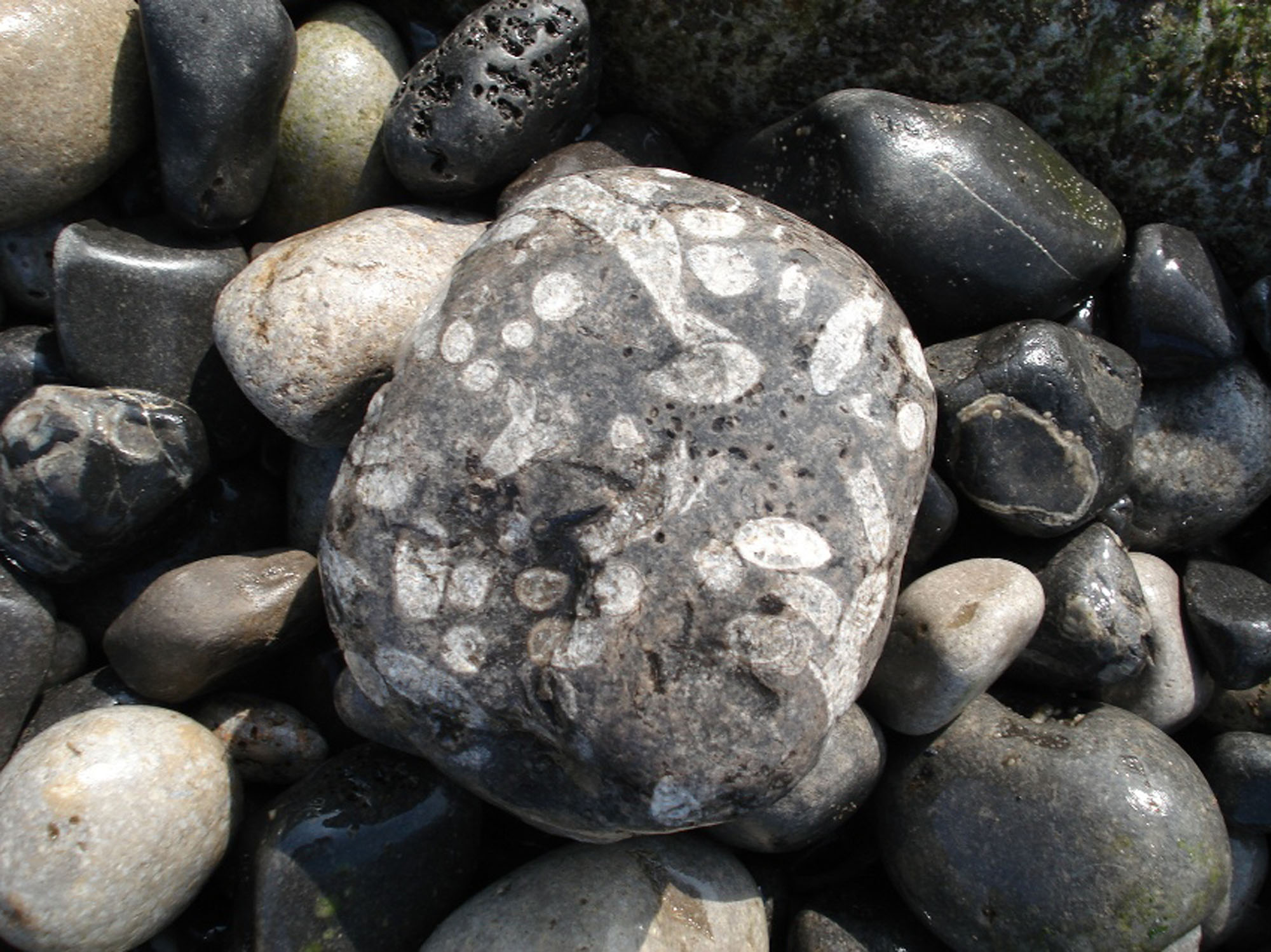









Discoveries and milestones
Significant discoveries, geological research and conservation milestones at Caim.
2003 – Protected coastal features described in management guidance
The North Penmon Coast management statement set out the importance of the limestone cliffs and quarries together with the shore’s sensitive habitats. Its conservation objectives provide context for visiting this protected coast without granting collecting rights.
2009 – Modern limestone framework clarified
A regional Carboniferous framework distinguished the Cefn Mawr and Loggerheads limestone formations used to interpret the Penmon coast. The exact western contact within this guide’s headlands remains unresolved.
2020 – Large brachiopods from Caim documented
A published first-hand account illustrated and discussed Gigantoproductus specimens from cliffs near Caim. This is a dated record of local material, not a claim of the first discovery, a new species or a museum type specimen.
Geology
At the original guide reference, current BGS mapping identifies the Cefn Mawr Limestone Formation of the Clwyd Limestone Group. The formation is late Viséan, chiefly Brigantian within a broader Asbian–Brigantian range. Loggerheads Limestone is also recorded along the wider shore, but the original guide point maps as Cefn Mawr Limestone.
The regional Cefn Mawr succession alternates muddier, darker limestone and mudstone with thicker pale shelly or crinoidal limestone. Such changes record repeated deepening and shallowing of the carbonate platform. They help explain why shell-rich resistant ledges alternate with more easily weathered material, although every regional facies is not necessarily present in each Caim photograph.
Silica replacement and chert, together with local dolomitisation, can affect how fossils weather and survive. A shell that stands out strongly from its matrix may be partly silicified, but replacement is not uniform. Its surface and surrounding carbonate may remain vulnerable to destructive preparation.
Loggerheads Limestone is present on the wider Penmon coast, and a secondary field guide applies it to part of Caim Beach. Its precise contact with the headlands covered here has not been reconciled. The mapped original point and several nearby checks give Cefn Mawr Limestone; that does not prove a complete measured succession or locate every westward contact.

Detailed geology and bed-by-bed succession
The mapped Cefn Mawr limestone, informal fossil horizons and unresolved western contact at Caim.
CLWYD LIMESTONE GROUP
Cefn Mawr Limestone Formation
BGS Geology 50k mapping identifies interbedded limestone and mudstone of the Cefn Mawr Limestone Formation at SH6225281520, the original guide reference. Three additional nearby map queries also return that formation. These are scale-dependent map observations, not a measured bed log or proof of the formation at every westward headland.
Age and regional sedimentary character. The formation ranges across the Asbian–Brigantian and is chiefly Brigantian, within the late Viséan. Regionally, thin dark argillaceous limestone and mudstone alternate with thicker pale shelly limestone and coarse crinoidal limestone. Repeated deepening and shallowing affected the carbonate platform. Nodular chert, silicification and local dolomitisation help explain variable preservation, without demonstrating every facies in each photographed Caim bed.
Coral-rich coastal limestone. The original field account records colonial corals standing proud of weathered surfaces, solitary horn corals and a coral-rich bed at the base of the next headland west. The latter is an informal field horizon, with no verified formal name, numbered-bed correlation or thickness. No named member is established at the guide point.
Brachiopods and silicified shells. Large brachiopods and silicified brachiopod and bivalve remains are described in the original account. A first-hand article published in 2020 reports Gigantoproductus from cliffs near Caim. It supplies no museum voucher, exact bed or specimen-level collection date, so neither a type claim nor a species-level identification of every large shell follows from that record. General maximum sizes for the genus are not measurements of a documented Caim specimen.
Wider Loggerheads Limestone context. Loggerheads Limestone occurs on the wider Penmon coast and is applied to part of ‘Caim Beach’ in a secondary field guide. Its boundary with the headlands of this guide remains unresolved. It is therefore not inserted as a second demonstrated local layer. The geographically separate Graig Fawr, Little Orme and Craig Rofft subdivisions are not members exposed at Caim.
No borrowed measured section. Regional Anglesey tables and the measured sections at Tandinas and Flagstaff quarries concern different exposures. Their cycle counts, porcellanous beds, channel dimensions and named Dwlban, Harbour, Helaeth or other beds do not constitute a Caim log. Their distinctive fossil lists likewise remain separate. The local evidence currently supports mapped formation context and informal fossil-bearing horizons, rather than a complete numbered succession.
References. BGS Geology 50k, dataset version 9.25, original Caim reference and three nearby point queries; BGS Lexicon, Cefn Mawr Limestone Formation; Waters and colleagues (2009), BGS RR/09/01, sections 4.6.4–4.6.5; BGS IR/09/005, section 2.4 and regional table 5; British Lower Carboniferous Stratigraphy, Geological Conservation Review 29, North Wales chapter, Tandinas and Flagstaff accounts used to establish locality limits; Monks, N. (2020), On the trail of giant brachiopods, Gigantoproductus, published 4 July.
Safety
The approach is steep and the coast remote. Do not attempt an unconfirmed cliff descent, climb cliff edges to reach shells or shelter beneath overhangs. Loose blocks, slippery weed and uneven ledges make the shore difficult even in good weather.
Check tide times and conditions, plan for a falling tide and allow a generous return margin. Headlands can isolate the route before the broad shore is flooded. Avoid rough seas and keep clear of nesting birds and sensitive coastal habitats.
Equipment
Take a camera, scale, hand lens, tide information and suitable boots, together with weatherproof clothing and a charged phone. Observation is the appropriate approach until shore access and any collecting permission have been established.
Cleaning And Treating
Photograph fossils in place and retain their geological context. If loose material is lawfully collected, wrap brittle silicified shells separately and keep the matrix and locality label.
Do not use acid or aggressive hammering to free fossils from the limestone. Partial silicification does not make the whole specimen acid-resistant, and power preparation can destroy fine surfaces. Unusual material should be shown to a museum or specialist before destructive work.
Identify Your Finds
Need help identifying a fossil? Share clear photos, where you found it and its size with the community.
Further Reading
Deposits Magazine: On the trail of giant brachiopods, Gigantoproductus
BGS: Cefn Mawr Limestone Formation
BGS: Carboniferous stratigraphical framework
Natural Resources Wales: North Penmon Coast site management statement
Isle of Anglesey: Pentraeth to Beaumaris coastal path
Access Rights
The approach crosses land above a steep, protected coast. Use only a confirmed public path or obtain the landowner’s permission for the field crossing and shore access; the old route past Pentir Cottage should not be assumed to be a public right of way.
Public access does not give permission to collect. Ask the landowner before removing fossils or rock and check any conservation consent required. Leave in-situ fossils, cliffs and rock-pool habitats undisturbed. The North Penmon Coast SSSI protects geological and biological features; its management aims do not themselves grant access or removal rights.
Follow current notices and avoid disturbing birds, including the cormorant nesting areas highlighted in the site management statement between 1 February and 31 July. This identifies a sensitive period, rather than establishing a blanket seasonal closure of every part of Caim.
It is important to follow our ‘Code of Conduct’ when collecting fossils or visiting any site. Please also read our ‘Terms and Conditions‘
Joe Shimmin. Last inspected 2008, Updated 2017, Edited by Jon Trevelyan 2016
Links
♦ Fossil Discussions
♦ Fossil Articles
♦ Buy Fossils, Tools and Equipment
♦ Buy Crystals, Meteorites, and Artefacts
♦ Join Fossil Hunts
♦ UK Fossils Network


