

The low cliffs at Stutton Ness preserve Middle Pleistocene river and estuary deposits with scientifically important mammal remains and shells. Older marine clay occurs separately farther west. Fossil finds are occasional, and visitors should approach on public paths, respect estate land and keep clear of soft tidal ground.


FIND FREQUENCY: ♦ – Occasional finds; large bones and research microfossils are not routine collecting targets.
CHILDREN: ♦♦♦ – A longer walk with tidal mud and low cliffs, requiring close supervision.
ACCESS: ♦ – Public paths from Stutton; confirm authorised parking and keep to waymarked routes.
TYPE: – Estuary cliffs and foreshore with deposits of different ages.
DIRECTIONS
♦ Start at Stutton Community Hall on Manningtree Road, IP9 2TA. Check with the hall about walkers’ parking and use only the currently authorised or signed area, leaving event, shop and disabled spaces clear. The original guide used a grass area rather than the main hardstanding.
♦ Walk left from the hall entrance to the lane signed towards the farm business centre. Where the lane bends into the business premises, stay on the public route ahead, past the large house and through the signed gate.
♦ Continue along the footpath/farm track to the T-junction, then turn left towards the shore. At the shore turn right along the public path towards Stutton Ness. Keep to current waymarks across the estate and do not drive or park on farm tracks. Do not rely on the old tyre-swing landmark.
♦ The older Eocene foreshore exposure lies farther west towards the next wooded headland; approach only when tides and ground conditions allow a safe return. Original collecting-area reference: 51.95554°N, 1.12285°E.
FOSSIL HUNTING
The low cliffs at Stutton preserve Middle Pleistocene river and estuary sediments with fossil mammal remains and molluscs. Large bones are occasional finds, not a dependable target for a short family outing. The fauna is scientifically important in reconstructing an interglacial landscape; BGS specifically records the extinct mouse Apodemus maastrichtiensis from Stutton, while the larger fauna includes the mammoth-and-horse association used in correlating these deposits.
The ostracod Cyprideis torosa, including noded forms, is documented from Stutton Ness and helps identify a brackish influence. These microfossils are research finds rather than objects readily seen on a casual walk. The original guide also records tiny plant remains in the older Eocene foreshore sediment farther west. Keep the Pleistocene and Eocene material separate. Look only for allowed loose finds on firm accessible shore. Photograph a bone exposed in the cliff, record the position and contact a museum or site manager; leave in-situ bones undisturbed.
The original guide reports deer bones alongside elephant remains, including teeth and tusk fragments. Such historical observations complement the research fauna but do not make large bones dependable finds. Leave bones embedded in the cliff undisturbed and record their position for specialist advice.
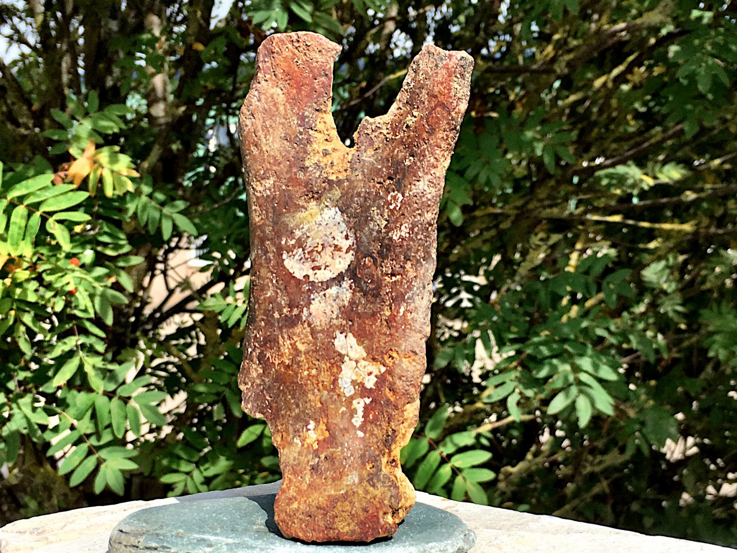
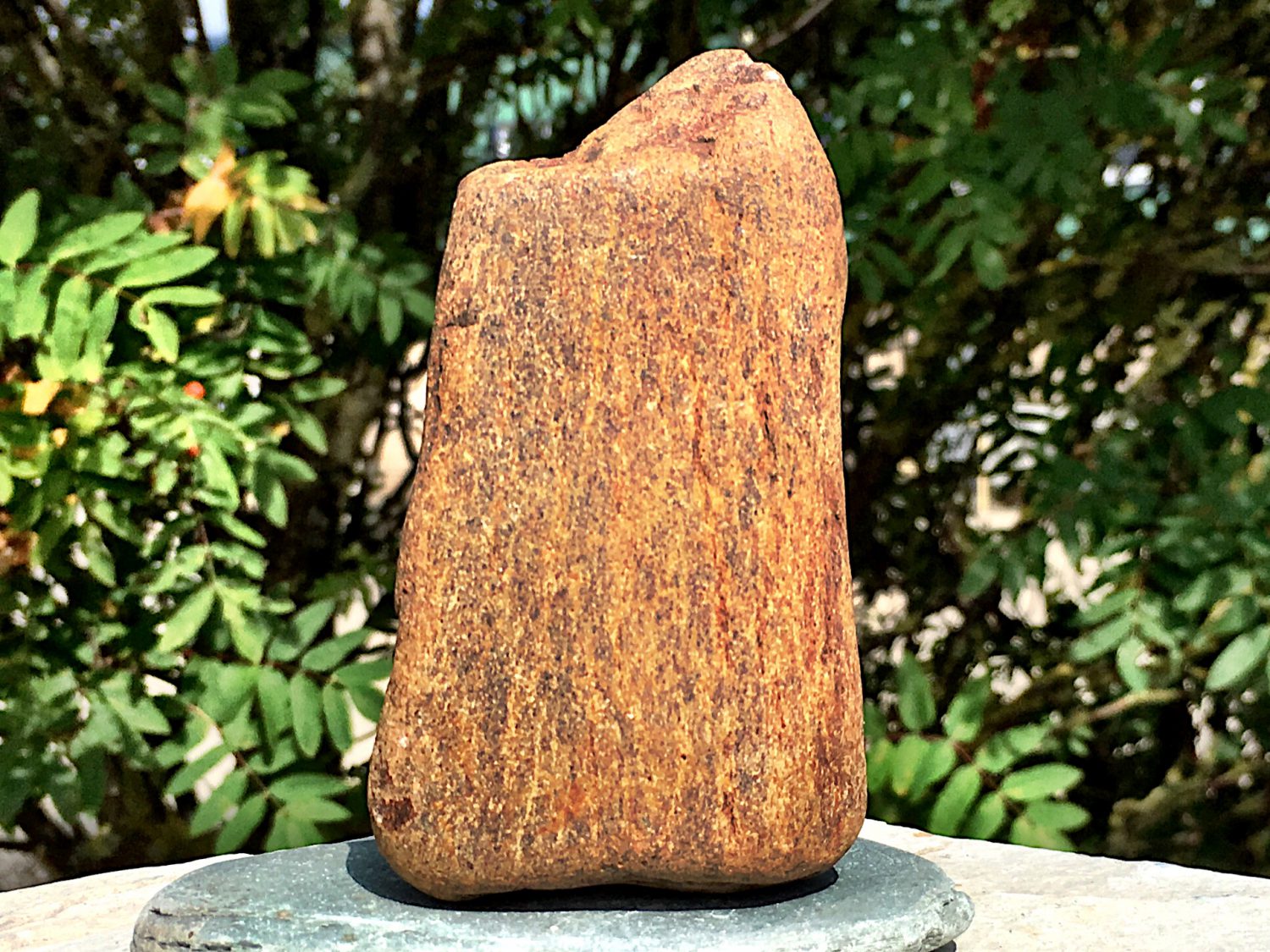
A chronological record of geological research and significant discoveries at Stutton Ness.
1953 – Stutton Brickearth investigated
H. E. P. Spencer published “The Stutton Brickearth, Suffolk”, establishing an important modern account of the local fossil-bearing deposits.
1963 – Interglacial environments examined
B. W. Sparks and R. G. West published “The interglacial deposits at Stutton, Suffolk”, using the sediments and fossil evidence to reconstruct past conditions. Older interglacial labels should be read in their historical context.
2013 – Amino-acid evidence supports an older interglacial
Penkman and colleagues included Stutton freshwater-snail opercula in their British Quaternary amino-acid framework, supporting correlation with MIS 7 rather than the Last Interglacial.
2021 – Dedicated geological field guide
W. H. George published a 24-page geological field guide to Stutton in Suffolk Natural History 57, bringing the locality’s geological history together.
2022 – Estuarine evidence reviewed
A regional synthesis discussed the Stutton Ness ostracods and their evidence for freshwater and brackish conditions in the Stour archive.
References
BGS East Anglia: MIS7 and exact Stutton mouse record
Bridgland and colleagues 2022: Stour archives and Stutton ostracods
Penkman and colleagues 2013: amino-acid framework
George 2021: Stutton field-guide bibliographic record
Stutton Parish Council: current public-path and private-land guidance
Stutton Community Hall/shop: official location and postcode
Natural England: Stour Estuary SSSI
GEOLOGY
Stutton’s best-known fossil deposits are Middle Pleistocene sands, silts and gravels, historically called the Stutton Brickearth. Here “brickearth” is a descriptive name for fine sandy and silty sediment rather than one uniform rock. Gravel and shallow channel deposits underlie finer sediment in the low cliff. The sequence records a river and its margins, with changing flow conditions responsible for the contrast between coarse channel material and quieter-water sand and silty clay.
The fossils add evidence that cannot be read from grain size alone. Freshwater ostracods occur with noded Cyprideis torosa, indicating some brackish influence near the upstream tidal limit. The deposit should therefore be understood as fluvial to marginal-estuarine, rather than wholly marine. Modern biostratigraphy and amino-acid work support correlation with Marine Isotope Stage 7, broadly around 200,000 years ago, instead of simply identifying the fauna with the later Ipswichian interglacial. Molluscs and vertebrates belong within this changing interglacial landscape.
Much older Eocene marine clay occurs separately towards the western foreshore. The original account described small fossil seeds there under the historical name “London Clay”, but older usage can include beds now placed in the Harwich Formation, and the exact local boundary remains uncertain. Modern estuary mud and shingle partly conceal both successions and can mix material eroded from different sources. A loose bone cannot be assigned automatically to the basal Pleistocene gravel, nor should a seed from the older clay be combined with the interglacial fauna merely because both were found on the same shore.

Detailed stratigraphy and geological evidence at Stutton Ness.
Middle Pleistocene interglacial succession
The local sand, silt and gravel record is commonly termed Stutton Brickearth in historical literature. Modern biostratigraphy and amino-acid work support MIS 7 correlation.
Basal gravel and channel deposits
Published accounts describe gravel beneath the finer Stutton deposits and a complex of shallow channels. Material collected loose on the modern foreshore may have been reworked from more than one level; a mammal bone cannot be assigned to the basal gravel solely by its present position.
Sandy silts and fine-grained brickearth
The low cliff exposes sand and silty clay that yielded the interglacial molluscs and vertebrate fauna. These record fluvial and marginal-estuarine conditions. Shore cover and changing exposure can interrupt the visible succession.
Freshwater-to-brackish evidence
Modern work documents freshwater ostracods and noded Cyprideis torosa at Stutton Ness, indicating some brackish influence near the upstream tidal limit. This biological evidence should not be simplified into a marine origin for the entire brickearth.
THAMES GROUP — WESTERN FORESHORE
Older Eocene marine strata occur separately from the fossiliferous Pleistocene succession.
Eocene clay on the western foreshore
The original guide records clay with small fossil seeds west of Stutton Ness, using the historical name “London Clay”. Older local usage can include strata now assigned to the Harwich Formation. The precise formation boundary at this exposure remains uncertain.
Modern estuary mud and shingle
Modern cover changes the visibility of the older strata and can mix redeposited fossils. It is not itself evidence for the original depositional association of a loose specimen.
References
UK Fossils: Stutton original route and field observations
BGS East Anglia: MIS7 and exact Stutton mouse record
Bridgland and colleagues 2022: Stour archives and Stutton ostracods
Penkman and colleagues 2013: amino-acid framework
George 2021: Stutton field-guide bibliographic record
Stutton Parish Council: current public-path and private-land guidance
Stutton Community Hall/shop: official location and postcode
Natural England: Stour Estuary SSSI
SAFETY
Check the tides and allow time for the walk back. Soft estuary mud, slippery algae, fallen trees and low unstable banks make the shore more demanding than the modest cliff height suggests. Stay on firm ground, avoid the mudflats and do not work at or beneath an undercut face. Respect nesting sand martins and keep away from their burrows. If a path is blocked, turn back rather than entering a field or crossing soft mud. In a coastal emergency call 999 and ask for the Coastguard.
EQUIPMENT
Use sturdy grippy footwear and take tide information, water, a charged phone, a camera and padded specimen boxes. A ruler or scale helps record significant material without disturbing it. No hammer or digging tools are needed for loose surface finds; any research sampling requires explicit permission.
CLEANING AND TREATING
Keep specimens labelled with the exact find spot and whether they were loose on shingle, in a detached block or observed in a particular bed. Support wet clay-covered fossils in a rigid box; do not scrub fragile surfaces or force the matrix away. Robust teeth can be gently rinsed, but friable bone, seeds and pyritic material need more cautious treatment. Let stable specimens dry slowly, away from heat. Avoid acids, bleach and varnish. Leave potentially important bones or associated remains unprepared and ask a museum or specialist for advice. Fragile Pleistocene bone, ivory and tiny plant fossils should be supported rather than aggressively cleaned. Leave potentially important finds with adhering matrix and obtain conservation advice before drying or consolidation.
IDENTIFY YOUR FINDS
Need help identifying a fossil? Share clear photos, where you found it and its size with the community.
FURTHER READING
George: A geological field guide to Stutton, Suffolk, journal contents
BGS: East Anglia’s Middle Pleistocene fauna
Stour Valley geological and environmental synthesis
Natural England: Stour Estuary SSSI
ACCESS RIGHTS
The Stutton shore is within the Stour Estuary SSSI, protected for wildlife and geological interests. Use lawful public paths and respect private estate and farm land. The parish council confirms that public-footpath access is welcomed, while highlighting problems from trespass, unauthorised parking and disturbance near nesting birds. A path gives a right of passage, not permission to excavate its adjoining cliffs. Follow local notices; obtain the landowner’s permission and any required conservation consent before digging or sampling.
It is important to follow our ‘Code of Conduct’ when collecting fossils or visiting any site. Please also read our ‘Terms and Conditions’.
LINKS
♦ Fossil Discussions
♦ Fossil Articles
♦ Buy Fossils, Tools and Equipment
♦ Buy Crystals, Meteorites, and Artefacts
♦ Join Fossil Hunts
♦ UK Fossils Network


